
Turner Map Collection
March 2011
We recently received a wonderful collection of South Carolina maps from Marvin S. “Steve” Turner, ’67. These 23 maps, many of them very early, show many facets of the state’s development.
The earliest map, a black and white copper engraving modeled on a painting from Theodore de Bry’s Brevis Narratio Eorum Quae in Florida Americae Provincia, is from 1591, and shows two ships entering Port Royal Sound. This map, which depicts the East Coast between Cape Hatteras and Cape Florida,has been described as one of the earliest and most influential maps of the southeast ever published. From the 17th century, we have John Speed’s map of the South Carolina Coast with a description of Carolina on the back, published in 1695. This was one of the first attempts to map the interior of South Carolina, based on the explorations of John Lederer in the 1670s. Both of these maps are extremely rare, and are owned by only one other library in the country.
There are numerous maps from the 18th century, including Jacques Bellin’s hand-colored map of the Carolinas and Georgia (1757), and a “New and Accurate Mape of North America” (1787). Again, these are very rare maps, and each is owned by only one other library in the country. Several other maps deal with the Revolutionary War, including William Gordon’s 1788 depiction of military conquests in the Carolinas and parts of Georgia, the plan of the battle of Camden, and a map by Piquet, reprinted from the French edition of David Ramsey’s history of the Revolutionary War, which shows the position of British troops during the attack on Fort Moultrie. The plan of the battle of Camden is also quite rare, with only one other library in the country listing it among its holdings.
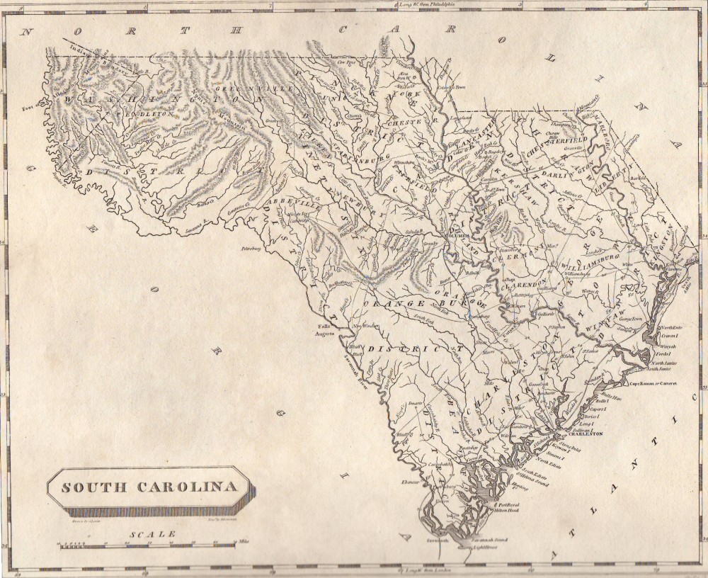
Among the many nineteenth-century maps are David Burr’s 1836 map of North America, V. Levasseur’s 1847 map of “Amerique Septentrionale”, S. Lewis’s map of South Carolina (1812), Fielding Lucas’ South Carolina (1823), Mitchell’s county map of South Carolina and Florida with an inset of Charleston Harbor (1860), and Thomas Cowperthwait’s hand-colored “A New Map of South Carolina with its Canals, Roads and Distances from place to place along the stage and steamboat routes” (1854).This map also indicates all of the state’s towns, railroads, roads, rivers, forts, and post offices. The maps by Burr, and Levasseur are owned by only one other library in the country, and the Lucas map appears in the holdings of only two other libraries. Relating to the Civil War, the collection includes an 1863 engraving by George E. Porine depicting the bombardment of Fort Sumter.
We thank Dr. Turner for his generous contribution, and hope that the maps will serve as valuable resources for our history department.